Running Consensus:
One map. Millions of workouts.
Collective Wisdom.
Last week, my wonderful mother sent me an article that was about favorite places to run in Philadelphia; being a runner and from the greater Philly area, I was naturally intrigued. The map was similar to ones I had seen before with thicker/brighter lines indicating higher usage, but what is special about this map is that it is not limited to Philadelphia – instead, you can see the whole United States!
If you run, walk, bike, or are just curious, I highly encourage you to check it out: 1.5 Million Runs, Walks, & Bike Rides.
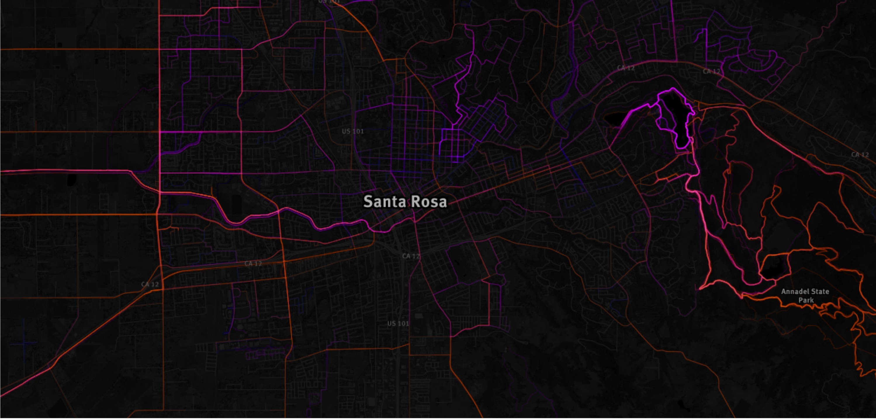
The map was created by Mapbox, a data mapping service, and the data was provided by RunKeeper, a fitness app. Since RunKeeper has over 1.5 million users living around the country, you can find highlighted routes in just about every city. I could see the routes I run in Redding, CA, old favorites from my Pennsylvania days, the popular ones in Lewes, DE, and plenty in both Clemson and Greenville, SC. Seeing this “running consensus” has me feeling tempted to download RunKeeper so that I can contribute/brighten my favorite routes.
Travel Tip: The map also came in particularly handy on my current adventure in Santa Rosa, where I am for The Wildlife Society Western Section meeting (there will be haikus about that soon). I used it to see where I might like to run while I am visiting town, and I am definitely bookmarking the site for future travels!
Happy trails!

What a great idea! I checked out Anderson, SC. Not much where we walk but the Civic Center and areas close by have lots of running areas as does the area toward town. Thanks for sharing!